Lenny Social Studies · Lesson 1
A continent of many nations
30 min · Grade 5
C3 D2.Geo.2.3-5C3 D2.Geo.4.3-5
Lesson 1 of 84Lenny Social Studies
A continent of many nations
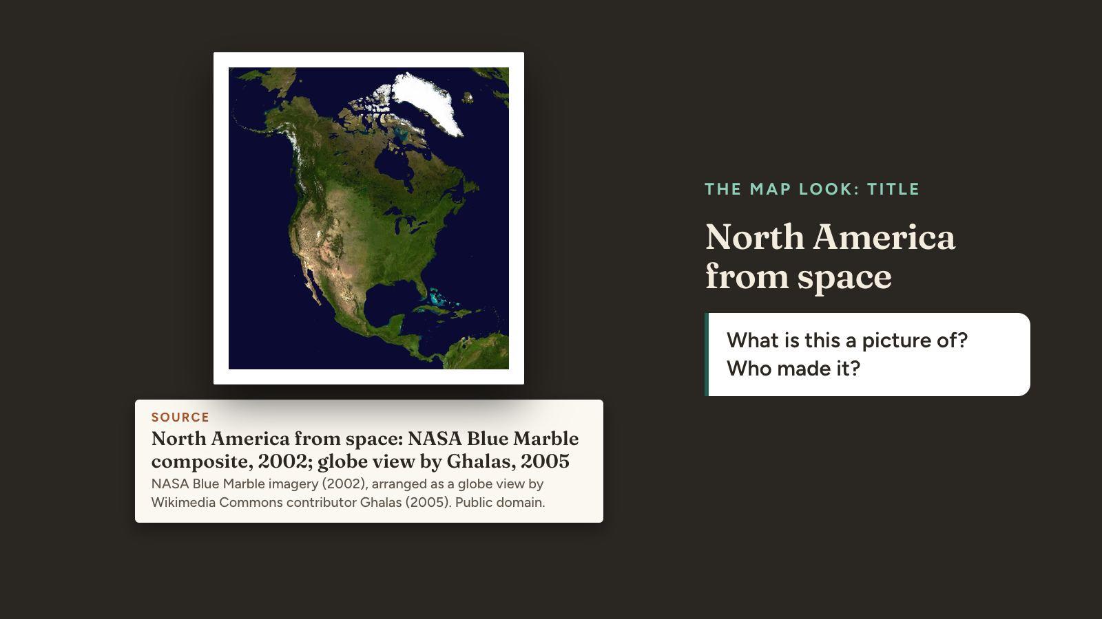
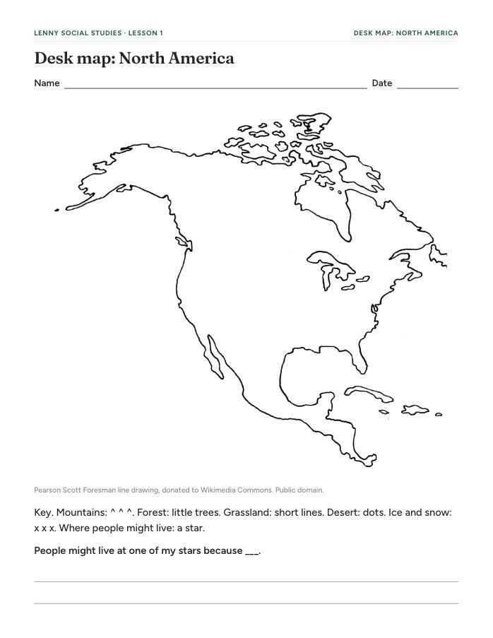
Students do the Map Look on a satellite image of North America, mark land and water on their own outline map and reason about where people might live, then learn that hundreds of nations have lived across all of it, and still do.
How to teach it
Before class
Step 1: Teacher guide
What to print, the lines to say, the script and what to cut if you're short on time. A 5-minute skim.
Before class
Step 2: Printables
Desk map: North America
1 per student
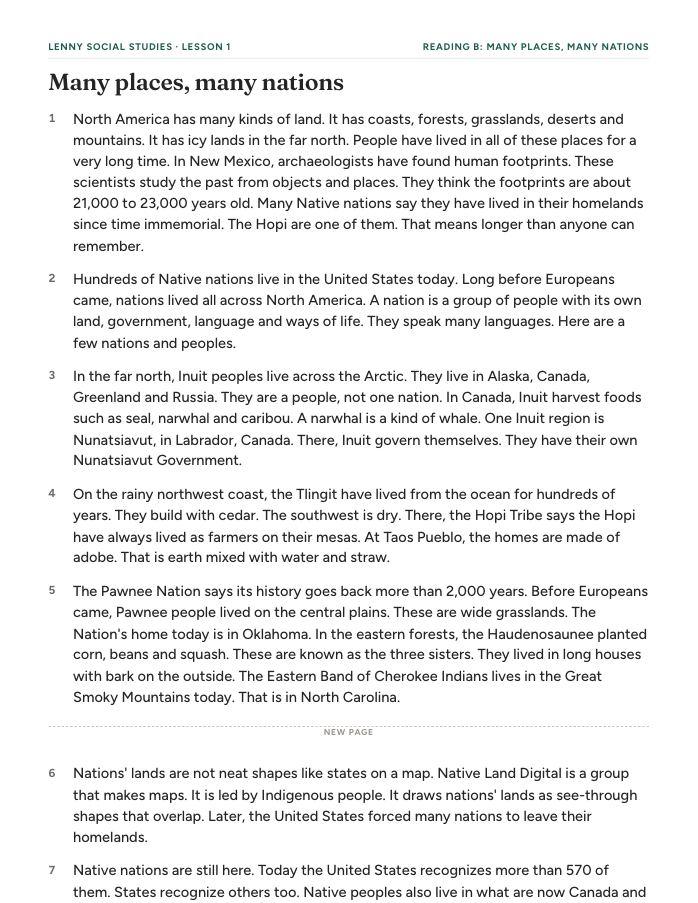
Reading: Many places, many nations
3 levels: A more support, B on grade level, C strong readers
Exit ticket
1 half-sheet per student
Answer key
1 for you
In class
Step 3: Slides
Project it for 30 minutes: look back 4, map look 4, mark your map 7, where and why 4, many nations 7, sum up 4.
Standards
- C3 D2.Geo.2.3-5Use maps, satellite images, photographs, and other representations to explain relationships between the locations of places and regions and their environmental characteristics.
- C3 D2.Geo.4.3-5Explain how culture influences the way people modify and adapt to their environments.